
A Bon-Vivant’s Historical Walking Tour of New York City
By David Wondrich and Martin Doudoroff
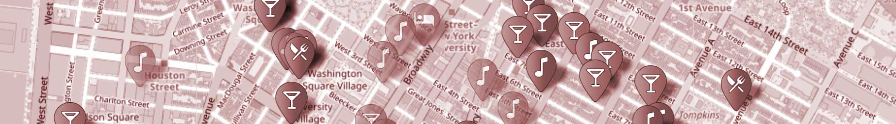
The heart of this exhibit is a contemporary map of New York City populated with a growing database of places that once were, and in most cases, are no longer. The focus here is on bars, hotels and dance halls—the places most closely related to local drinking culture over the last few hundred years, with only passing attention to fine arts. You will find almost everything is on the island of Manhattan, although you will find some interesting locations that are in today’s “outer boroughs”. Even on Manhattan, quite a few of these places were actually out in the countryside in their day.
You’ll find various markers to click/tap for more information (and you can also select from the sidebar list). A marker that is blue  is for a place that still exists and is active. A solid gray marker
  is for something that is gone, but some artifact (such as the original building) still remains to be seen. A semi-transparent marker
  is for the ghosts: a place for which no physical trace remains.
We offer several versions of the map to explore that focus on specific time periods or eras, plus one map where we throw everything at you at once:
Pre-Prohibition map (1800-1920)
Contemporary map (1980 onwards)
Everything map (all the locations at once)
Some maps may have additional features that others do not.